

Digital technologies are changing how people interact with the natural world.
We know that our technologies affect the environment itself, for better or worse, but how can they help us explore the environment?
Putting aside the environmental consequences of a very deep carbon footprint for now, tools like digital story maps can help us understand the distinction between invasive species that out-compete and displace, and native species that have co-evolved within specific ecosystems for many years.
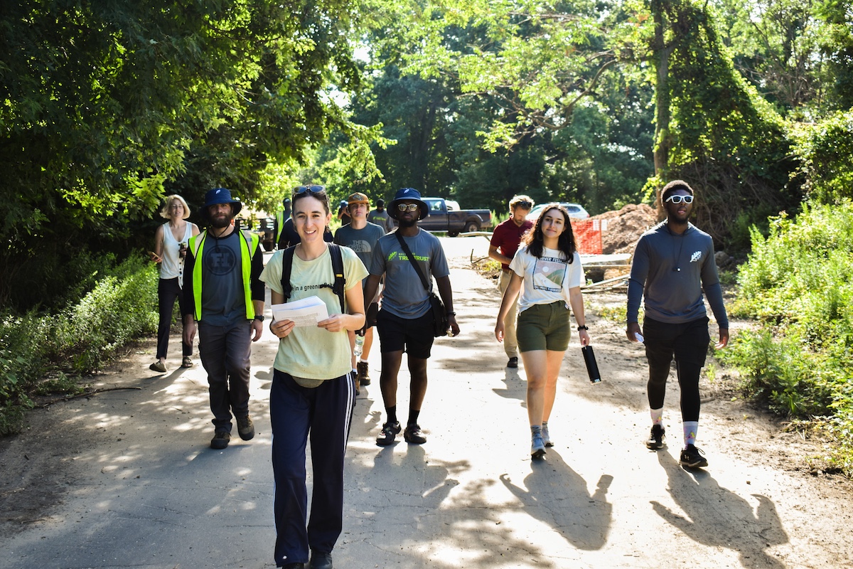
Like in Patterson Park. Zoe Gensheimer serves as the director of advocacy and community engagement for the Baltimore Tree Trust. She collaborated with her colleagues: Jordan Brown, Marc Gurley, Ryan Alston, Gabriela Amaya-Williams and Kajall Hylton — a geographic information systems (GIS) specialist on the Tree Trust team — to author “A Walk Through Patterson Park.”
In a phone interview with Technical.ly, Gensheimer noted the Tree Trust’s broader mission to support Baltimore in achieving tree canopy coverage in the city alongside partners like Tree Baltimore. Gensheimer explained that this involves planting and caring for thousands of trees annually. Various roles, including advocacy, outreach, and actual planting contribute to this goal.
“It’s not as pretty or a website, but it’s what we do every day,” she said.
Why a digital walk through Patterson Park
The online walkthrough is an interactive map featuring photography mostly by Tree Trust teammate Gurley. It was originally created for a tree walk that Tree Trust staff organized in collaboration with Patterson Park Audubon.
“We were asked to do the walk by this Spanish-speaking cohort, this group from Defensores de la Cuenca,” Gensheimer said. “They were looking for interactive programming for this group of adults who’s learning about watershed issues.”
For Tree Trust, this story map project was partly about providing access to trees and green spaces. Patterson Park Audubon focuses on the park’s bird life. Hylton, who couldn’t make the walk, was tapped by Gensheimer to create the map.
“One day, I think Zoe … just asked if I could do this and I was like, ‘Sure, why not?’” Hylton said. “And so, we all went out and redid the walk and took more photos so we could have a better understanding of what the walk was like. And then just put it into ArcGIS.”
The digital story map for Patterson Park features 11 key topographical points, highlighted in blue and arranged somewhat in the shape of a trapezoid. Within these 11 points, you’ll find a short history of Patterson Park, the scientific names of various tree species found in the park, information about park structures and even historical details about wars.

A screenshot of the Baltimore Tree Trust’s story map from “A Walk Through Patterson Park.” (Website screenshot/Courtesy Baltimore Tree Trust)
Building the digital story map
ArcGIS is a cloud-based mapping tool, which was also employed in a project to display Delaware’s broadband infrastructure and an older effort helping folks find trees on D.C.’s streets. In the City of Philadelphia, different GIS tools like ESRI are used for cleanup efforts.
Delving into how they built the map, Hylton said they simply used Apple products and inspiration from existing story maps in Baltimore.
“So this map is a lot different from the stuff that we actually do for Baltimore Tree Trust,” Hylton said. “I based these points primarily from another story map that was online. It was the Tree Baltimore story map. They actually went out and physically took the points of the trees. We have this app on iPads called ArcGIS Field Maps, and you can go out and it detects your location, basically. And you can place down a pin and put a point down for anything.”
Comparing the act of mapping to a task they do traditionally do with Tree Trust, Hylton said: “That’s how we do it when we go out tree planting, when we decide, ‘Oh, we’re gonna put a tree in this pit.’ Tree Baltimore also did that, but they did that specifically for more notable tress, and a lot of the notable trees were in Patterson Park. I took their data and I put it into our story map.”
The benefit of digital story maps for public spaces
Hylton doubled down on the importance of maps for public spaces and the beauty of Baltimore.
“I think that, like, a lot of people don’t know the nitty-gritty behind making a map. “It’s a lot easier to have this little display that is open to the public and is available for anybody to look at. Like, maybe you’ve never or don’t have access to Baltimore, you live a little [outside] of Maryland, somewhere else in Maryland, and you’ve never — you don’t even think that Baltimore, as a city, has a green space like this. This is an opportunity to be able to see a part of Baltimore that you would never really associate [with] Baltimore?”
One of the Tree Trust team’s objectives for the map was to incorporate text elements to enhance the storytelling aspect. Gensheimer mentioned that crafting this narrative required extensive research.
“Obviously, the easiest stuff to find is mostly, like, who history’s written about,” she said. “So, like, William Paterson being like a very, very wealthy White man, I could easily find those facts. But to get more of that broad history … the history of segregation in the parks was almost impossible to get.”
Telling a complete story becomes difficult when crucial details are missing.
“So a lot of that history is actually missing from our walk,” Gensheimer said. “And even up to, like, the use of the Spanish community that uses the park today. That’s not written out.”
Still, Brown, who also serves the team as a GIS analyst, noted the organization’s hunger for fairness and inclusion: “This is a resource that’s available to everyone.”
For those interested, there’s a walk with some “tree people” that’s both free and public on Oct. 21.
This editorial article is a part of The Tech Behind Month of Technical.ly’s editorial calendar.
Before you go...
Please consider supporting Technical.ly to keep our independent journalism strong. Unlike most business-focused media outlets, we don’t have a paywall. Instead, we count on your personal and organizational support.
Join our growing Slack community
Join 5,000 tech professionals and entrepreneurs in our community Slack today!

The person charged in the UnitedHealthcare CEO shooting had a ton of tech connections

From rejection to innovation: How I built a tool to beat AI hiring algorithms at their own game

Where are the country’s most vibrant tech and startup communities?
