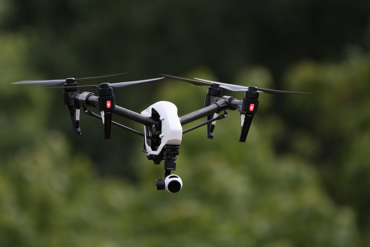
Tuesday, March 24, 2015. After a year of watching his competition attempt to navigate the frontier of the commercial drone industry without authorization from the Federal Aviation Administration (FAA), it was the day entrepreneur Michael Mogavero had been waiting for.
Mogavero, who launched his Thornton, Pa.-based commercial drone startup GooseView Technologies in July of 2014, had spent the better part of a year preparing his business for legitimacy. That meant acquiring the right insurance, securing the appropriate documentation regarding commercial operations, bringing his business model up to speed with regulatory standards, traveling to trade shows and learning how to actually operate a drone.
Before March 24, Mogavero could have attempted to offer his aerial robotics and data collection services to prospective clients. But, unlike those who tried and were quickly shut down by the FAA, he chose to wait.
“I didn’t have authorization,” said Mogavero. “I followed the rules.”
What happened on March 24?
It was the day FAA began issuing Section 333 flight authorizations to individuals looking to capitalize on the relatively untapped commercial potential of drone technology. To date, 1,732 of the waivers have been granted to commercial drone operators. Mogavero was quick to claim his.
“We just got our approval from the FAA in August. This is the first month I’ve taken the tent off the circus,” he said. Now, GooseView Technologies is chasing down prospective clients in Delaware, Pennsylvania, New Jersey and Maryland.
Mogavero’s business is different than your typical drone startup. As he likes to say, it’s not “rock n’ roll.” There’s nothing overtly flashy about GooseView Technologies. Well, unless you’re really into data collection. (It’s a space that at least one drone company in Baltimore is also rushing in to.)
“My job as a company is to own and manage the safe and responsible operation of these crafts to go up on behalf of a client and get some kind of data from an aerial perspective that has real economic value and meaning to the client,” said Mogavero.
In other words, the real value for GooseView clients lies in the visual information coming off of its systems.
“What they’re asking for has extreme economic value to them in whatever discipline it is — biology, zoology, construction, engineering, facility maintenance,” said Mogavero. “I’m just a tool to get the data that helps them be more cost effective and make better decisions.”
GooseView offers aerial surveys utilizing various infrared technologies and high definition photos and videos. Mogavero said his technical advisory board includes a military MQ-9 Reaper pilot and a New Jersey Institute of Technology Ph.D. with experience in homeland security and disaster management.
“We’re here as professionals to do a job. We want to do it safely, we want to get the data our clients need, and we want to get our assets back down on the ground,” said Mogavero. “My industrial equipment can be upwards of $20,000 at a time. I’m the happiest I ever am flying when I’m landing.”
Before you go...
To keep our site paywall-free, we’re launching a campaign to raise $25,000 by the end of the year. We believe information about entrepreneurs and tech should be accessible to everyone and your support helps make that happen, because journalism costs money.
Can we count on you? Your contribution to the Technical.ly Journalism Fund is tax-deductible.
Join our growing Slack community
Join 5,000 tech professionals and entrepreneurs in our community Slack today!

The person charged in the UnitedHealthcare CEO shooting had a ton of tech connections

The looming TikTok ban doesn’t strike financial fear into the hearts of creators — it’s community they’re worried about

Where are the country’s most vibrant tech and startup communities?

