
Cool partnership alert: Grays Ferry-based drone startup Exyn Technologies announced this week that it recently worked with a Toronto-based company to map a historic Finnish gold mine.
Exyn is a spinout of University of Pennsylvania’s GRASP Lab and uses drones and ground-based robots to collect data from places where maps and GPS don’t exist. The company’s autonomous drones use its exynAI Platform to fly without a human pilot.
Last year the company raised a $16 million Series A to expand its commercial growth and global reach.
The company worked with Rupert Resources, a Canadian gold exploration and development company, to explore a historic gold mine in Central Lapland of Northern Finland. Rupert Resources needed a plan for a potential restart of operations by “estimating tonnage previously removed from the mine, as well as calculating the remaining ore in heavily restricted areas,” Exyn said.
An Exyn drone mapped 30 stopes, or excavations made in the mine, across three days.
“Our mission with Rupert presented some of the most difficult and seemingly impossible challenges to navigating, analyzing, and assessing a mine,” said Raffi Jabrayan, director of markets and industries for Exyn, in a statement.
The company also mounted a version of its robot to a car that scanned access drifts to complete a map of the mine in under four days. The result was a highly detailed 3D model of the mine, the companies said.
“Exyn achieved accurate assessment of the volume of remaining stopes at Pahtavaara with an unprecedented level of detail, and obviously the use of remote technologies means that this was achieved with a greatly reduced degree of risk,” said Jukka Nieminen, managing director of Rupert Finland.
Take a look at the project and its mapping images below:

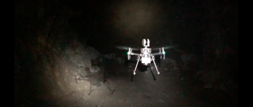
Exyn Technologies’ drone. (Courtesy Exyn Technologies)

Mapping images. (Courtesy Exyn Technologies)

Exyn Technologies’ drone. (Courtesy Exyn Technologies)
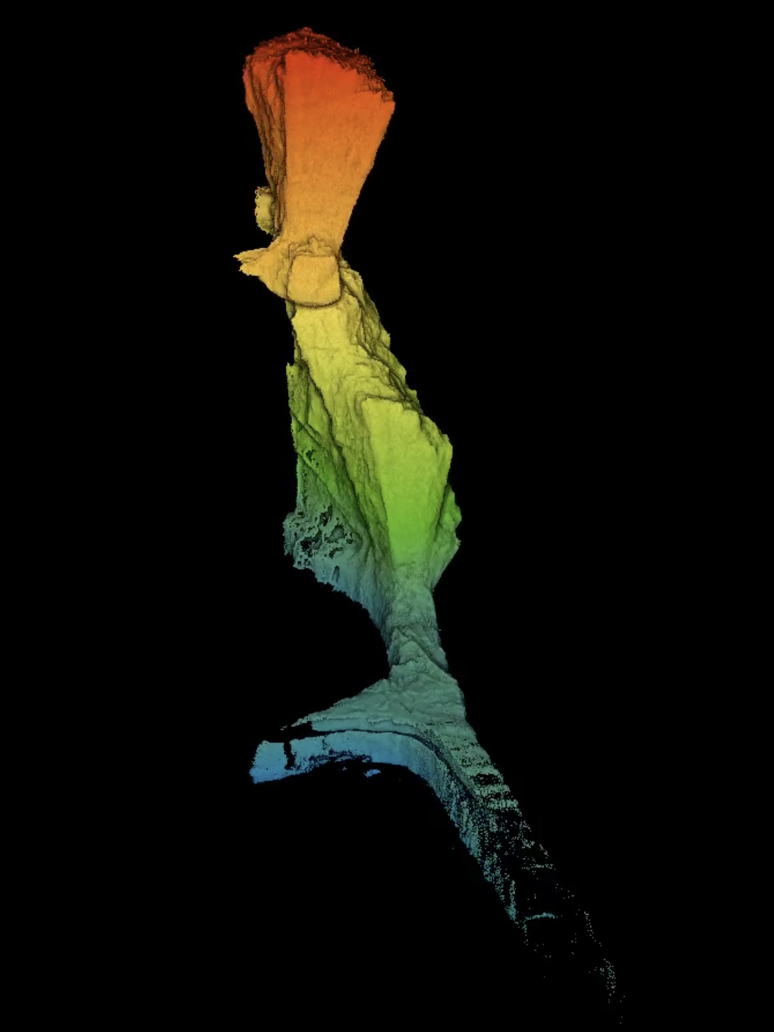
Exyn Technologies’ 3D map. (Courtesy Exyn Technologies)
Psst, the company is hiring a DevOps engineer:
Just posted! We're #hiring a #DevOps #Engineer – Work with a dynamic, multi-disciplinary team to further aerial #autonomy and help deploy aerial #robots in commercial environments. https://t.co/aSEjox2P09 #phillyjobs #techstartup #innovation pic.twitter.com/usgaQdKUZy
— Exyn Technologies (@ExynTech) March 4, 2020
Before you go...
To keep our site paywall-free, we’re launching a campaign to raise $25,000 by the end of the year. We believe information about entrepreneurs and tech should be accessible to everyone and your support helps make that happen, because journalism costs money.
Can we count on you? Your contribution to the Technical.ly Journalism Fund is tax-deductible.
Join our growing Slack community
Join 5,000 tech professionals and entrepreneurs in our community Slack today!

The person charged in the UnitedHealthcare CEO shooting had a ton of tech connections

The looming TikTok ban doesn’t strike financial fear into the hearts of creators — it’s community they’re worried about

Where are the country’s most vibrant tech and startup communities?
