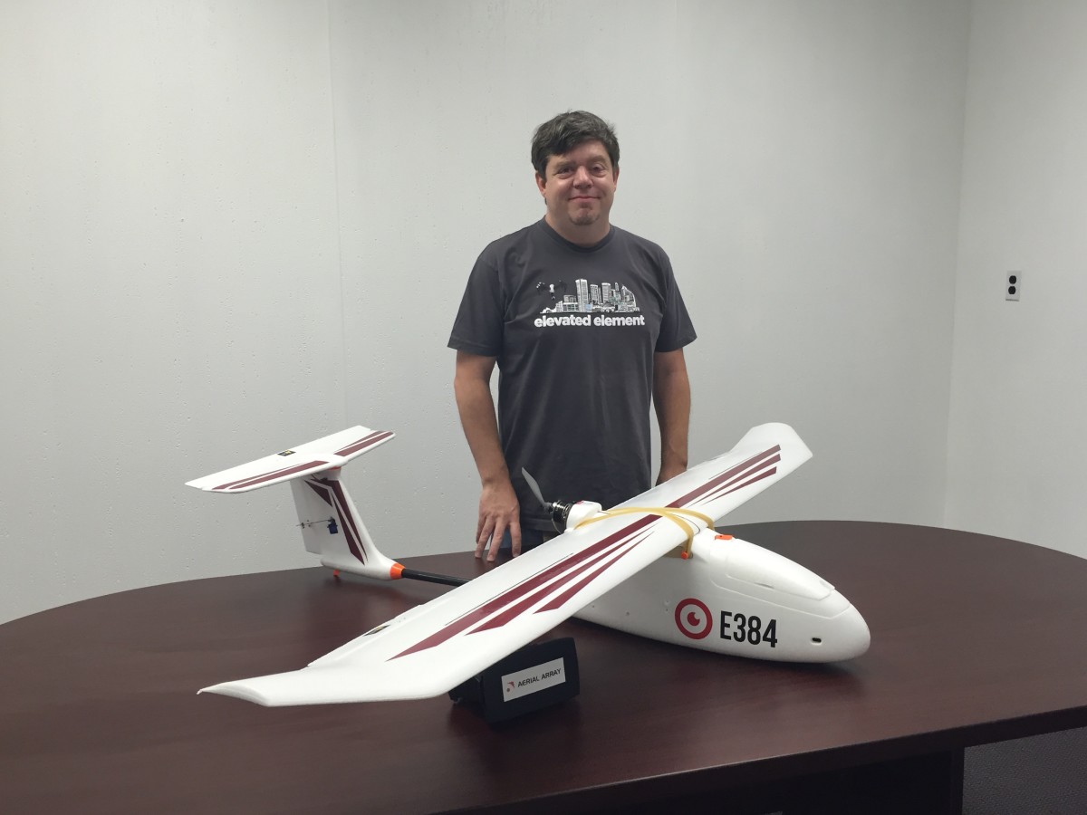
Terry Kilby knows that the use of drones is growing.
In the latest sign, the federal government recognized that it had to do something about it. New Federal Aviation Administration regulations that were approved earlier this month are designed to make it easier for drone pilots to legally fly.
With their drone photography business, Elevated Element, Terry and wife Belinda Kilby were already legal. But many others did not go through the process of getting the necessary exemptions.
“There was zero accountability and nothing the FAA could really do,” Terry Kilby said.
With more permitting offices replacing the case-by-case review that granted Elevated Element its permission, the skies should be safer. Having sought to educate the public about proper use of UAVs, that’s a welcome change for Kilby.
The lower barrier to entry could also mean more drone businesses taking off. Just as the initial exemption set up a new business model, the latest federal regulations are also coming at a time of change for the business. Late last year, Kilby debuted Aerial Array to focus on using data with drones for commercial clients. Along with adding a pair of new staffers, capabilities like 3D animation and software development have also been added to the flight plan in the months since.
The first two examples of the new company’s work are a couple of the prime industrial sites in the city that are currently being redeveloped to rise again.
1. Tradepoint Atlantic
The former site of the massive Bethlehem Steel mill in Sparrows Point (here’s some drone footage of its “disheveled remains”) is being redeveloped into a multipurpose commercial site called Tradepoint Atlantic. Aerial Array’s work is on display at the site on an 82-inch touchscreen. Along with drone footage, Kilby said Aerial Array worked with massive trove of data including thousands of photos, video and mapping of the 3,100-acre site to develop the interactive application. Here’s the highlight reel:
https://www.youtube.com/watch?v=16LYdLXKwhw&feature=youtu.be
2. Port Covington
We’ve heard a lot about the future of Port Covington and seen renderings of the new “city-within-a-city” that will be home to a towering new Under Armour headquarters. “This is an example of a new architectural service we are offering where we can combine real world aerial video of a site with high resolution 3D renders of the proposed development,” Aerial Array wrote in a description.
https://www.youtube.com/watch?v=asx6JgsdY1E&feature=youtu.be
Before you go...
Please consider supporting Technical.ly to keep our independent journalism strong. Unlike most business-focused media outlets, we don’t have a paywall. Instead, we count on your personal and organizational support.
Join our growing Slack community
Join 5,000 tech professionals and entrepreneurs in our community Slack today!

The person charged in the UnitedHealthcare CEO shooting had a ton of tech connections

From rejection to innovation: How I built a tool to beat AI hiring algorithms at their own game

Where are the country’s most vibrant tech and startup communities?


