The mighty Philadelphia Eagles, triumphant winners of Super Bowl LII, will do a victory lap through the streets of Philly starting at 11 a.m., practically shutting down the city with expected crowds of at least a couple million folks.
In the hopes of helping fans stay, er, hydrated, a trio of local devs built a map that locates the nearest bar along the five-mile parade route.
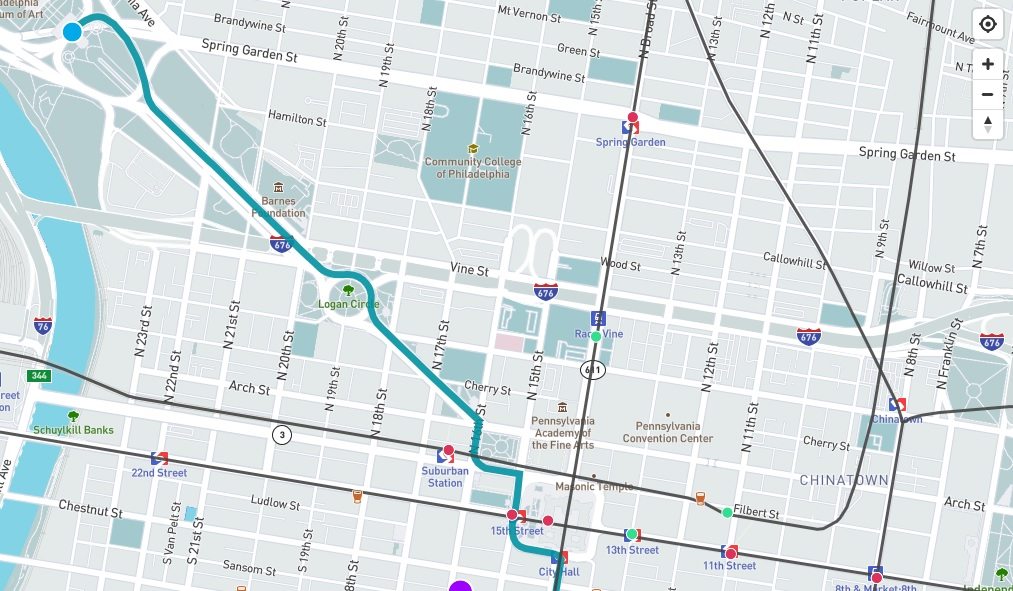
The mobile-friendly map, which also shows available public transit stops and the full parade route, was built in three nights as a side project by Kelly Innes, Dan Ford (both Azavea developers) and Chris Pollard, from the Delaware Valley Regional Planning Commission.
See the map“I’m honestly not a die-hard NFL follower,” Ford confessed. “And I normally like to work on projects that have a greater civic or environmental impact, but sometimes you just have to build a tool to help people find beer.”
(On that note: Bud Light is keeping its promise of (at least one) free beer along the parade route. Here’s more info on that.)
The main reason why the map came together, Ford said, is that he was searching for an excuse to tinker with Mapbox GL JS, a JavaScript library that uses the WebGL API to render interactive maps.
Go Birds. Long live the Philly Special. And the Citywide, too.
Before you go...
Please consider supporting Technical.ly to keep our independent journalism strong. Unlike most business-focused media outlets, we don’t have a paywall. Instead, we count on your personal and organizational support.
Join our growing Slack community
Join 5,000 tech professionals and entrepreneurs in our community Slack today!

The person charged in the UnitedHealthcare CEO shooting had a ton of tech connections

From rejection to innovation: How I built a tool to beat AI hiring algorithms at their own game

Where are the country’s most vibrant tech and startup communities?
