
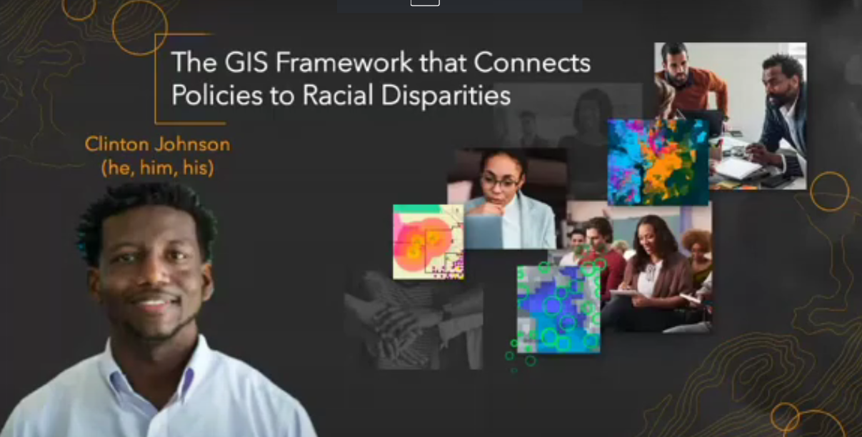
Redlining and other efforts to negatively affect Black people’s prosperity can be tracked and better understood by using geographic information systems, aka GIS.
During the Technical.ly Developers Conference at Philly Tech Week 2021 presented by Comcast, Esri solution architect Clinton Johnson spoke about how using GIS can help people identify systemic inequities that work against people of color, including via access to quality schools or homes.
By clarifying the issues with data, GIS can help “assess racial and social inequities and drive change for more equitable outcomes,” he said, offering some real work examples to support his point.
Watch the full session, slides included, here:
Michael Butler is a 2020-2022 corps member for Report for America, an initiative of The Groundtruth Project that pairs young journalists with local newsrooms. This position is supported by the Lenfest Institute for Journalism.
This editorial article is a part of Tech for the Common Good Month of Technical.ly's editorial calendar. This month’s theme is underwritten by Verizon 5G. This story was independently reported and not reviewed by Verizon before publication.
Before you go...
Please consider supporting Technical.ly to keep our independent journalism strong. Unlike most business-focused media outlets, we don’t have a paywall. Instead, we count on your personal and organizational support.
Join our growing Slack community
Join 5,000 tech professionals and entrepreneurs in our community Slack today!