Ah, summer; a distant dream, all but smothered by the drear of a bitter winter hellscape. Or is it?
Azavea wants nonprofits nationwide to know warm weather is right on the horizon.
The Callowhill-based mapping firm is now accepting applications for it’s Summer of Maps fellowship program. U.S.-based nonprofit organizations eager to foster the skills of local student GIS analysts are encouraged to apply for consideration (and get a little something in return).
Here’s how it works: Azavea (which recently helped the city pinpoint major bike-theft locations) offers a $5,000 stipend to a handful of local civic-minded GIS students. The students are then paired with two separate nonprofits in need of spatial analysis and data visualization. From June to July, the fellows work with their Azavea mentors to implement mapping projects for both of their “clients” — at no cost to the organization.
Apply now
Last year’s program targeted the needs of six nonprofits by enlisting the services of three students from Colgate, Penn and Clark University. “The results of these projects have enabled these organizations to make strong cases in favor of the causes for which they advocate or enabled them to make strategic decisions to service the communities they serve,” writes Azavea VP Rachel Cheetham-Richard via email.
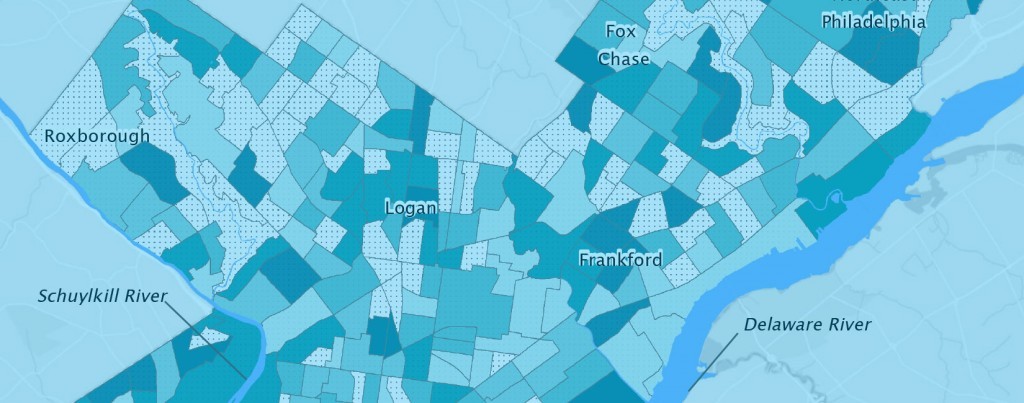
Still not convinced? Two years ago, Philadelphia City Council and the William Penn Foundation were so impressed with a fellow’s map created for Delaware Valley Association for the Education of Young Children, they awarded the nonprofit with a combined $1M in new funding.
According to Cheetham-Richard, selected nonprofits will receive the following pro bono services from student GIS analysts and their mentors:
- Existing data will be geographically analyzed and visualized in new ways
- That data will be combined with other demographic and geographic data
- Data will be used to generate high quality maps and visualizations
To be considered, organizations that would like to receive these services must apply by Sunday, Feb. 8.
Before you go...
Please consider supporting Technical.ly to keep our independent journalism strong. Unlike most business-focused media outlets, we don’t have a paywall. Instead, we count on your personal and organizational support.
Join our growing Slack community
Join 5,000 tech professionals and entrepreneurs in our community Slack today!

The person charged in the UnitedHealthcare CEO shooting had a ton of tech connections

From rejection to innovation: How I built a tool to beat AI hiring algorithms at their own game

Where are the country’s most vibrant tech and startup communities?

