
In Baltimore, heavy rain is often accompanied by sewage overflows into the city’s waterways.
The figures often released in the days afterward, with the number of gallons of the toxic mix of wastewater and rainwater – sometimes in the millions – and the location where the overflow happened.
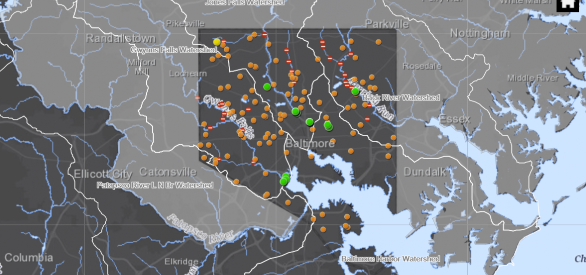
The Baltimore Department of Public Works is offering a way to speed up the notification process and track the sewage by map.
An interactive map debuting on the DPW’s website Friday provides a look at where the overflows are occurring using “near real-time” data. All known overflows are shown, and it’s available on the map for four months.
Testing a map of known sewer overflows over last four months. It includes two reported today, shown as purple dots.
View it here: https://t.co/SimGcYuVWG— BaltimoreDPW (@BaltimoreDPW) January 24, 2019
In the city’s century-old system, the sewage overflows can be a feature, not a bug. According to the Baltimore Department of Public Works, the system is designed with structured overflows when sewers get too inundated. Other overflows are caused by blockages The city is working to make repairs that will eliminate the overflows, with 83 percent of the overflows eliminated by the beginning of 2021.
In the meantime, the map is an effort to alert the public once the muck appears.
“There will be no waiting for press releases or social media updates to obtain this important public health information,” DPW states.
See the mapBefore you go...
Please consider supporting Technical.ly to keep our independent journalism strong. Unlike most business-focused media outlets, we don’t have a paywall. Instead, we count on your personal and organizational support.
Join our growing Slack community
Join 5,000 tech professionals and entrepreneurs in our community Slack today!

Entrepreneurship is changing, and so is the economic development behind it

Tech Hubs’ new $210M funding leaves Baltimore and Philly off the table

Here’s what to know before using AI to craft your brand’s social media posts
