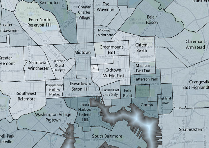
The Baltimore DataMind map, as Technical.ly Baltimore has reported, allows people to search through more than 50,000 data points of neighborhood-level information collected by the Baltimore Neighborhood Indicators Alliance.
Version 2.0 of the tool is now available. Users can search Baltimore city by neighborhood and “visualize socioeconomic, demographic, crime, education and health data for one area, multiple neighborhoods or all of Baltimore city,” according to a press release.
See below for a list of the map’s new features.
In addition to neighborhood information from the Baltimore Neighborhood Indicators Alliance, Baltimore DataMind — first created in 2010 by Hampden-based company Carson Research Consulting, Inc. — also pulls information from the U.S. Census Bureau and the Maryland Department of Health and Mental Hygiene.
New features in Baltimore DataMind 2.0:
- Updated data and an increase in the number of indicators, including 2011 data.
- Easier visibility of the trend data.
- Geolocator button, which allows users to visualize a specific address on the map.
- Clearer map, so users can more easily see individual Baltimore streets.
- No longer necessary to first select Baltimore from a drop down menu to access the map.
- Addition of point data addresses and the ability to quickly turn point data on and off to concentrate on specific indicators, like schools, hospitals and libraries.
Join our growing Slack community
Join 5,000 tech professionals and entrepreneurs in our community Slack today!
Donate to the Journalism Fund
Your support powers our independent journalism. Unlike most business-media outlets, we don’t have a paywall. Instead, we count on your personal and organizational contributions.

National AI safety group and CHIPS for America at risk with latest Trump administration firings

How women can succeed in male-dominated trades like robotics, according to one worker who’s done it

Geomapping goes splat: The evolving future of Google Earth
