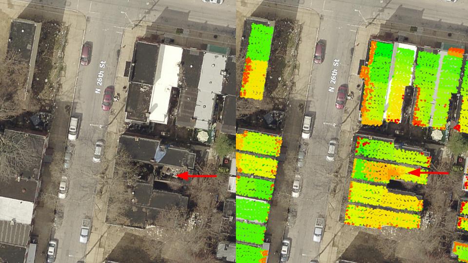
The Philadelphia Inquirer covered the latest tech push from the City of Philadelphia’s Department of Licenses and Inspections (L&I), a geospatial dashboard that helps figure out which buildings are in imminent risk of collapse.
We first reported on the program last November.
“The model was developed by a GIS and data team of Office of Information Technology employees who have been assigned to L&I,” wrote reporter Claudia Vargas for the Philadelphia Inquirer. The GIS and data team, led by Andrew Newell, has been testing out the model since August and fixing any glitches.
This will help the demo crews, which take down some 500 buildings a year across Philadelphia, prioritize which buildings should be torn down first.

“This helps us organize the worst of the worst,” L&I Planning Director Rebecca Swanson told Technical.ly. “This makes demolitions streamlined and efficient. We know we’re not missing anything.”
Swanson said the system tracks the status of some 4,800 unsafe vacant properties. It then rates the properties in a numeric scale from 1 to 49 through a series of variables (level of structural damage, adjacent schools or parks, criminal reports) and helps determine which buildings need to be demolished first.
“Vacant properties cost the City $20 million a year, so we’re trying to put a bit of dent into that,” Swanson said.
Read the full story over at Philly.com.
How the city is using data to track dangerous vacant properties


