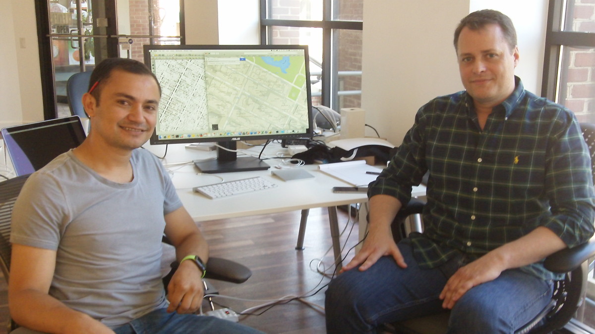
On a sunny street by the C&O Canal in Georgetown, a tiny startup called Parkour Method is trying to make the world a more navigable place.
But getting there has itself been a journey.
Point A: First steps
The stars aligned for Yonis Benitez and Phillip Zakas when they met at CoFoundersLab in February 2013.
Benitez, then a GM at Hailo, saw that geolocation, a field long overshadowed by Google and Apple, still had a long ways to go.
“The on-demand taxi apps, one of their challenges is to figure out exactly where the person is,” said Benitez. Too often, he said, “drivers are looking for you at the wrong places.”
Zakas, a fast-talking developer who’d previously served as a CTO of AOL’s ecommerce division, vigorously agreed.
Geolocation technology is “oversimplified for developers,” said Zakas. Pointing to a Google map on his computer, he added: “This is lazy, this is embarrassing.”
The two launched Gridskippr and began developing an SDK that could produce, they say, better geolocation coordinates for less battery drain. The algorithm geared location data more efficiently. It “minimizes how much we need to access the location,” said Zakas.
Their product was soon taken up by ad networks interested in tracking the geographical habits of consumers.
“That technology was kicking butt in the marketplace,” said Zakas.
And at one point, they seemed to have made it: one company approached them with a multimillion acquisition offer.
But Benitez, Zakas and Emily Wrobel, the third cofounder who joined the startup in September 2014, had bigger plans.
They didn’t want to just make a cutting-edge marketing tool; they wanted to change how we navigate the world with our smartphones.
Point B: The “candy store”
SocialRadar CEO Michael Chasen swooped in with a more appealing offer: a five-year plan to make the mother of all geolocation kits.
Chasen, who’d left his position as CEO of Blackboard in 2012 to start a geolocation-powered social networking app, was looking to pivot the new company.
He wanted a geolocation SDK with all the bells and whistles, including local venue search, event search and geofencing.
“Alright, that sounds awesome!” Zakas said he thought at the time. Plus: “We didn’t have a lot of cash.”
In November 2014, SocialRadar acquired Gridskippr for an undisclosed amount.
In return, they had access to a deep well of resources. It was “like being a kid in a candy store,” Zakas said in a follow-up email.
So they set up to pair their technology with mounds of data. They called up all the major municipalities in the U.S. to obtain building polygon maps. They bought addresses from commercial entities that supply business listings.
On New Year’s Eve, they were still at it, negotiating dataset purchases.
Finally, they developed a tool that snaps a user’s location signal — obtained via GPS or WiFi — to the building polygon data.
In May 2015, SocialRadar unveiled the new SDK — a tool that promised two-meter accuracy and a battery drain of less than one percent per hour, overlaid with 130 million addresses.
But then, barely two weeks later, the Gridskippr team bowed out of the company.
Point C: A “completely different way of looking at the world”
What they had was simply not good enough.
“The approach we were trying wasn’t producing the results we wanted,” said Zakas.
So they started afresh, and launched a new company called Parkour Method.
They considered the motion of celestial bodies. Not for divine inspiration, but to obtain a more accurate backend technology.
Parkour Method’s third algorithm pulls in a complicated set of data: a user’s location on Earth, the time of day, the motion of the GPS satellite.
“We’re taking into account continuous movement between these objects,” said Zakas. It’s a “completely different way of looking at the world.”
Because it factors in more information, Parkour Method’s geolocation technology is accurate to a T, said Zakas. “It gives you a really nice momentary accurate snapshot of where a person is located.”
This time around, Parkour Method also changed how it pairs up geolocation signals to addresses. Instead of using building polygons, they started identifying locales by their entry point.
For an average user, locating a building’s center is “less relevant than being able to walk to the entrance of a building,” said Zakas.
And, because what you put in is what you get out, they also went back on the hunt for fresh business listings.
Parkour Method recently unveiled its latest feature at TechCrunch Disrupt: a new and improved database, containing more than 5 million commercial addresses across the country.
It’s the most up-to-date dataset that exists, said Zakas. “The data is completely cleaned up.”
Here’s another domain in which Parkour Method believes it has a head start: privacy.
The startup only works with advertizing networks that agree to certain basic guidelines to protect customers’ personal information.
“The consumer should be able to opt out of any kind of data tracking,” said Zakas. When that lever is pulled, the networks are required to retroactively throw out the geolocation data they’ve amassed on the user.
With its four full-time and two part-time employees, Parkour Method is just trying to do one thing better than everyone else.
“The simplest technologies and the simplest products always win,” said Zakas.


