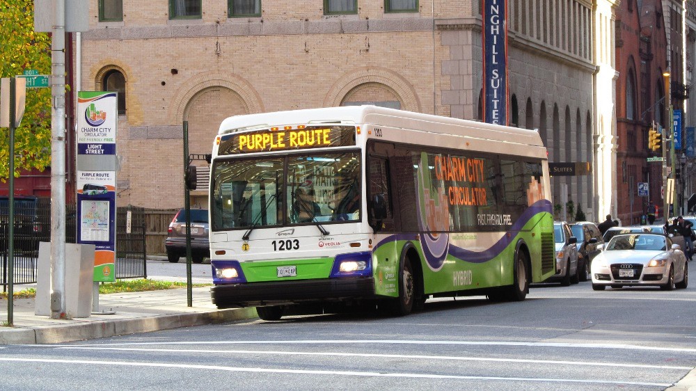
The Charm City Circulator is set to appear on Google Maps.
Within eight weeks, Baltimore’s free bus service will be among the transit options presented for users looking to get around the city. The news was first reported by the Baltimore Business Journal.
The effort didn’t involve Google’s team descending on Baltimore, but was still a process.
Legally, the city’s Board of Estimates was expected to approve a contract with Google that allowed the company to use the data.
Before that, the work that went into adding the system was done by the staff of the Transportation Resource Information Point (TRIP), which is a program of Central Maryland Regional Transit (CMRT), said CMRT Program Manager Philip LaCombe. TRIP maintains its own website with transit info, but is undertaking an effort to make the data behind those routes and schedules more widely available.
The agreement with the city doesn’t specify using the data in Google Maps alone, so the Circulator data could show up in other products.
The Circulator project reflects TRIP’s larger effort to make more transit data available. The project was funded through a grant from the Federal Transit Administration. Over 18 months, TRIP has funding to work on data feeds on transit options across the state. The Circulator was the 14th such feed that was created. They have also created feeds for the BWI Airport Shuttle, Annapolis’ transit system and Ocean City Transportation, among others.
“Our goal is to make easy online transit trip planning available to everyone in Maryland, regardless of where they live or work,” LaCombe said via email.
He also wants third-party developers to make use of the data.
The Charm City Circulator is heading to Google Maps


