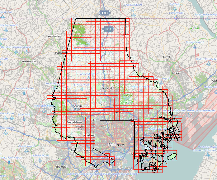
As of Sept. 30, Baltimore County’s geographic information systems (GIS) data and maps are available for download from the county’s Office of Information Technology.
The GIS maps include information on the locations of roads, buildings, bodies of water and more.
Visit the website of Baltimore County’s Office of IT to download the data.
Baltimore County GIS data now available for public download
As of Sept. 30, Baltimore County’s geographic information systems data and maps are available for download from the county’s Office of Information Technology.