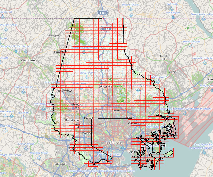
As of Sept. 30, Baltimore County’s geographic information systems (GIS) data and maps are available for download from the county’s Office of Information Technology.
The GIS maps include information on the locations of roads, buildings, bodies of water and more.
Visit the website of Baltimore County’s Office of IT to download the data.
Before you go...
To keep our site paywall-free, we’re launching a campaign to raise $25,000 by the end of the year. We believe information about entrepreneurs and tech should be accessible to everyone and your support helps make that happen, because journalism costs money.
Can we count on you? Your contribution to the Technical.ly Journalism Fund is tax-deductible.
Join our growing Slack community
Join 5,000 tech professionals and entrepreneurs in our community Slack today!