As public transportation and ridesharing apps swell in popularity, we often talk about how walkable a city is: Can you get to work without a car? Can you walk to a grocery store, hospital and school from your home or office?
In D.C., the answer is often yes. The district has a walkability score of 77, making it by some counts America’s seventh most walkable large city.
But of its approximately 1,000 miles, how many are accessible to someone in a wheelchair?
This fall, Jon Froehlich of the University of Maryland’s Human-Computer Interaction Lab (HCIL) debuted a new tool that can help answer that question.
Project Sidewalk, currently in beta, links big data, machine learning, computer vision and geographic information systems to help map and visualize D.C’s accessibility.
Here’s how the tool works. You’re given an interactive image from Google Street View. Let’s say you end up looking at a curb ramp in Kingman Park. You’ll label it as a curb ramp, then describe and rate its condition. Does it look easily passable for a wheelchair user? Is it wide, narrow, filled with potholes? Tag appropriately, and move on to the next image.
Think of it as a small act of civic kindness.
https://www.youtube.com/watch?v=-kXeX230WNI
But why rely solely on human labor when computers can be trained to do the same thing?
“The whole idea is not just have people use Street View to label accessibility problems,” Froelich explained, “but to then use that data to train machine learning algorithms so we can predict and find those labels automatically in the future.”
Once his team crowdsources enough data, they can use machine learning to scale up their approach to data collection. Eventually, they can apply the resulting algorithm to automate visualization of accessibility in other cities.
The district prides itself on its accessibility, and the Americans with Disabilities Act has set up critical legal standards. That said, our public transit can be difficult to navigate for people with disabilities. And anyone who’s walked on D.C.’s sidewalks — often narrow, cracked and missing curb ramps — will realize it’s not always easy for people with mobility and visual impairments to make their way around.
So far, more than 400 people from all over the world have virtually walked through D.C. to label and rate accessibility problems. Together they’ve helped make 410 miles (about 40 percent) of the District more accessible.
Within the next couple years, Froelich and team want to expand to 10 cities across the U.S.
“The ambitious, decade-long moonshot is mapping the accessibility of every place in the world,” Froelich says. “Or at least every place that the Google Street View cars have gone through. That’s not just roads — it’s hiking trails, inside stores and so on.”
Team members have also physically audited parts of D.C. to see how Street View images from several years ago align with the current status. But that’s not plausible for when the project expands. That’s why doctoral student Soheil Behnezhad is currently working on how to automate quality control of crowdsourced data: How much time does a user spends at a virtual intersection? How quickly does their mouse move? And what does that say about how accurate their input likely is?
Froelich also works alongside graduate computer science student Ladan Najafizadeh, who’s working on tracking infrastructural change in accessibility over time, and doctoral student Manaswi Saha, whose work visualizes accessibility data and integrates smart, accessibility-aware routing.

“You can input what type of impairment you have — say, what type of wheelchair you use,” Saha explains. “And the map will show most accessible regions and routes specific to you.” Manual wheelchairs users, for instance, tend to have more mobility than those using electric wheelchairs.
The team hopes Project Sidewalk’s main users are people with mobility impairments and caretakers for people with disabilities. That’s why their work includes an emphasis on participatory design.
“I’m able-bodied, so the best way to gain understanding of issues our target users face is through interviews and observation,” Froelich says. “We’ll show people with mobility impairments early designs and get their critical feedback.” Last year, they asked 20 participants with everything from cerebral palsy to spinal cord injuries to sketch their ideal accessibility tool.
But target end users also includes professionals — architects, government or urban planners looking at where to invest infrastructure capital, social scientists looking at urban demographics and socioeconomic dat and other civic-minded computer scientists and techies. (The team’s data is live, and all its code is available open-source for developers to build upon.)
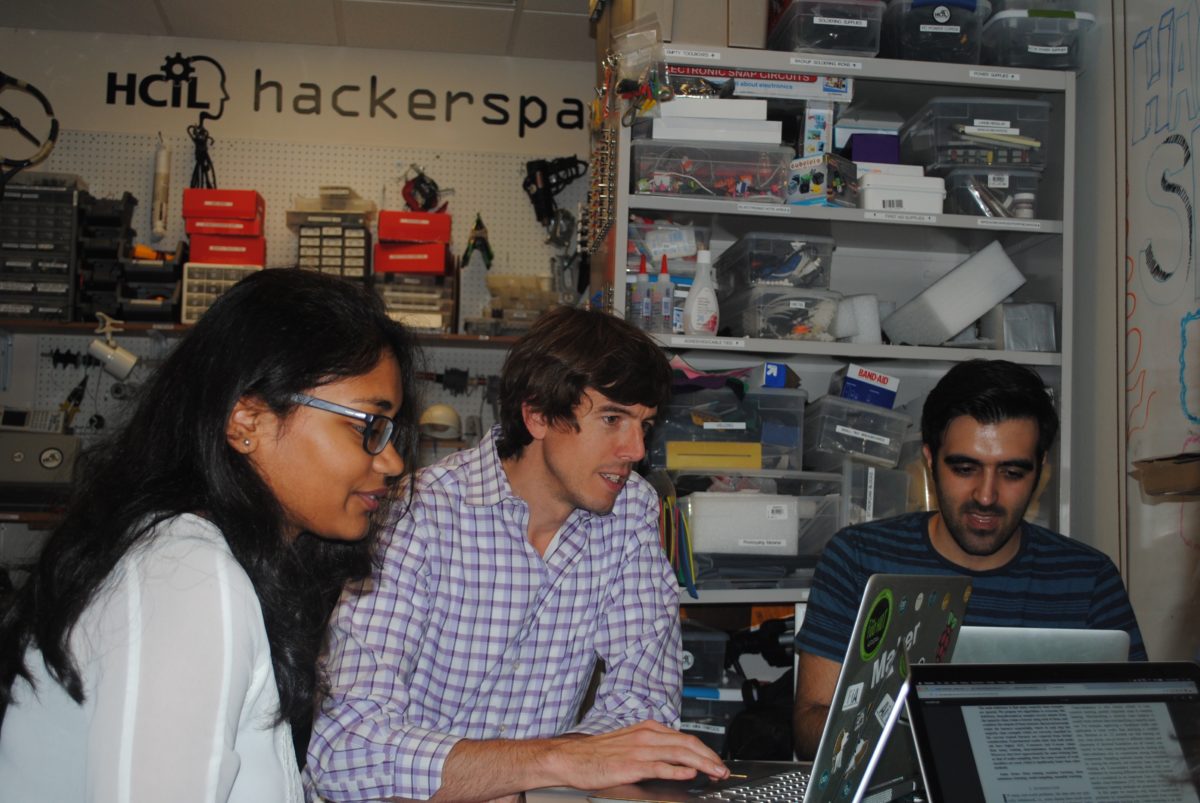
Froelich, who founded the HCIL’s 240-square-foot hackerspace and research lab, works primarily in accessibility. “By that I mean working with people who have unique abilities and making sure they have access to computers, in a sort of democratization of computing,” he explains. Recently, Froelich and a team of researchers created HandSight, tiny endoscopy cameras that attach to the fingertips and allow blind people to read.

The original idea for Project Sidewalk came to him about eight years ago, back when he was in grad school at the University of Washington. Froelich received a doctorate in computer science and M.A. in engineering from U-Dub. Somewhere during that time, he says, he realized he would make his work in engineering and technology design more fulfilling by combining it with a social mission.
His first exposure to the philosophy of accessible computing came from U-Dub professors Jacob O. Wobbrock, who directs the school’s Mobile & Accessible Design Lab, and Richard Ladner, who runs the school’s AccessComputing project, to get more people with disabilities engaged with computing.
“The question is: what can we do as academics?” Froelich asks. “[People with disabilities] are not a giant market, so industry players like Microsoft and Google tend to overlook them. It’s a nice way for us to make a positive impact in the world with the limited resources and funding we have.”
Speaking of which — while Project Sidewalk has received sponsorships from Google, the National Science Foundation and IBM, the team hopes to secure more grant funding as soon as possible. Hint, hint.
How Project Sidewalk is making DC more accessible


