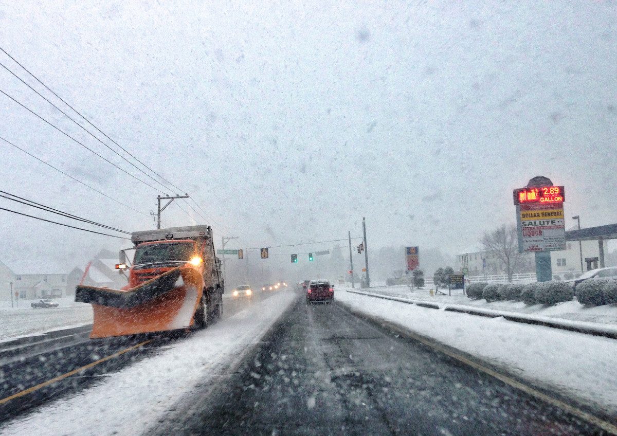
Attention open data peeps: You’ve got a golden opportunity for using local data about the Blizzard of 2016.
Mark Headd, open gov advocate and former Philadelphia Chief Data Officer, has scraped data on all of the DelDOT plow locations once per minute from Friday night through Monday morning.
He’s put the data in GitHub with the info on each plow in JSON format.
“It could easily be turned into something more interesting — a look at where the plows were over the weekend, which areas got plowed first/last, how many plows were active at any given time, etc.,” Headd wrote in an email.
He mentioned Clear Streets, an open data project in Chicago that shows if your street has been plowed, as an example of what could come from the data.
“Also hoping that DelDOT will evaluate the benefit of making this data more open going forward,” he said.
D.C. and other local government do, of course. Here’s what one mapper made, as reported by the Atlantic’s CityLab:
But now that the storm is over, cities have rushed to reclaim their streets. Several local governments, including D.C., post snow-plow tracking systems online. After crunching District plow activity data, Mapbox’s Tom Lee has created this auto-updating map that shows where city snow plows have travelled, and how recently.
Inspired? Think you’ll take on a project with the Delaware data? Let us know how it turns out.


