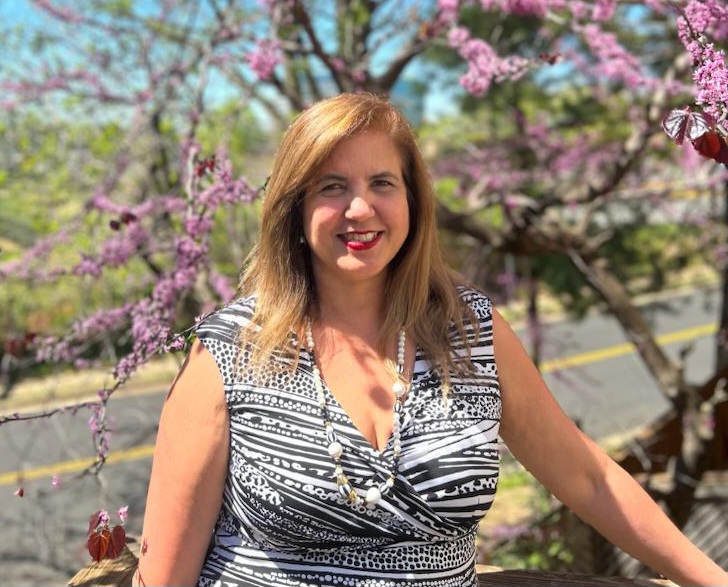
Patricia Ravelo already loved nature by the time she took biology in high school. Having a great teacher made studying the subject a no-brainer.
But not everybody supported her pursuit of a biology degree from the Universidad Simón Bolívar in Venezuela, where she grew up.
“People said, ‘Oh, you’re not going to find any job,'” the Fall Church, Virginia resident told Technical.ly. “But I decided to pursue what I thought it was that I wanted to do, and I never had any trouble finding a job.”
After specializing in environmental science and minoring in ecology, she took on a master’s degree program in geoscience, geographic information systems (GIS) and research information systems from Murray State University. The choice was inspired by her undergrad thesis, for which she used GIS to study water quality, and a desire to do applied research. She learned about remote sensing and GIS while searching for topics and wanted to pursue it further; since it wasn’t offered in Venezuela at the time, she applied for the Kentucky university’s program and got a chance to analyze water quality studies in Venezuela’s Lake Maracaibo.
She said she really loves this type of technology because it uses satellite data to examine what’s reflected from different wavelengths of a spectrum. Eventually, she got to apply this work to other industries like oil, transportation and agriculture, which made her confident that she chose the right path.
“It’s important to try to hear yourself and what is resonating with you and then follow that — even if people are telling you something else,” Ravelo said.
After completing her master’s degree, Ravelo got to do practical training at Rockville, Maryland company called EarthSat (which is now MDA Federal), whose international reach included projects based in Venezuela. After working there as an applications scientist project manager for a few years, she took a senior GIS and remote sensing specialist post at Astirum (then known as SPOT Image Corp). She went on to a few roles at Vienna, Virginia’s INDUS Corporation; a DHS account manager position with ESRI; and program manager jobs at DigitalGlobe, Pyramid Systems and Koniag Services.
Ravelo currently works for ASRC Federal, the government services wing of the Indigenous Alaskan-owned Arctic Slope Regional Corporation. She manages a team supporting the International Production Assessment Division, an agency within the federal Department of Agriculture (USDA). She and her colleagues track the global production of 12 crops, based on the USDA’s official estimates, and conduct application and geospatial development. For her next move, she’d love to start her own business.
Ravelo recommends young technologists looking to make moves in GIS get as much hands-on experience as possible through internships, apprenticeships and related programs.
“Go into something that will expose you to the work and what it entails and the different applications,” Ravelo said. “So, some practical exposure to the technology and the different problems and solutions, that is important.”
And for anyone struggling with a pathway that those around them don’t support, Ravelo suggests taking quiet moments to reflect. Taking that time to think about what you want to do next will help solidify the pathway you want going forward.
“It’s important to have moments of silence, so you’re able to listen yourself,” Ravelo said.


