Startups
Environment / Robotics / Technology

UD students map Severn River bottom with underwater robot
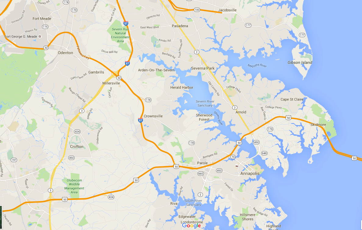
It'll help the U.S. Naval Academy figure out sediment shifts.

The Severn River. (Screenshot via Google Maps)

A group of University of Delaware robotics students recently used an underwater robot to create a map of the Severn River floor for the U.S. Naval Academy, according to the Cape Gazette.
The robot is one of the university’s 13 used for underwater research, and such robots are being developed to prevent risking divers’ lives in certain investigations.
On a nine-hour adventure, students used the robot’s sonar technology and live camera feed to create high-resolution maps of the river floor, which will be used to analyze sediment shifts.
Read the full story

Companies: University of Delaware
Engagement

Join the conversation!

Find news, events, jobs and people who share your interests on Technical.ly's open community Slack

Trending

Delaware daily roundup: DE innovation leaders; High schoolers win STEM competition; New Ladybug Fest location

Delaware daily roundup: Greentech digital glowups; AI versus dev jobs; New Biggs Museum website

Delaware daily roundup: Free biz analytics tool; AI tools for HR; Goodwill's recycling plan

Edtech CEO looks back on the promises of summer 2020: 'It never rang true to me'

Technically Media