
How thorough is New York’s subway system? Where doesn’t it reach?
Brooklyn’s King of Maps, Chris Whong, returns with Subway Deserts v2, a map of the city’s subway lines, and the areas around them within a 10-minute walk. It shows where in Brooklyn is covered by transportation, and where isn’t, and the findings might surprise you somewhat.
A few neighborhoods stand out for being poorly served by the subway. In Bedford Stuyvesant there’s a triangle between the JZ, the AC and the G where dozens of blocks from Nostrand Avenue to Malcolm X Boulevard are inaccessible. The G splits Greenpoint, but on either side is desert, and don’t even think about trying to get to the Navy Yard or Red Hook on the train.
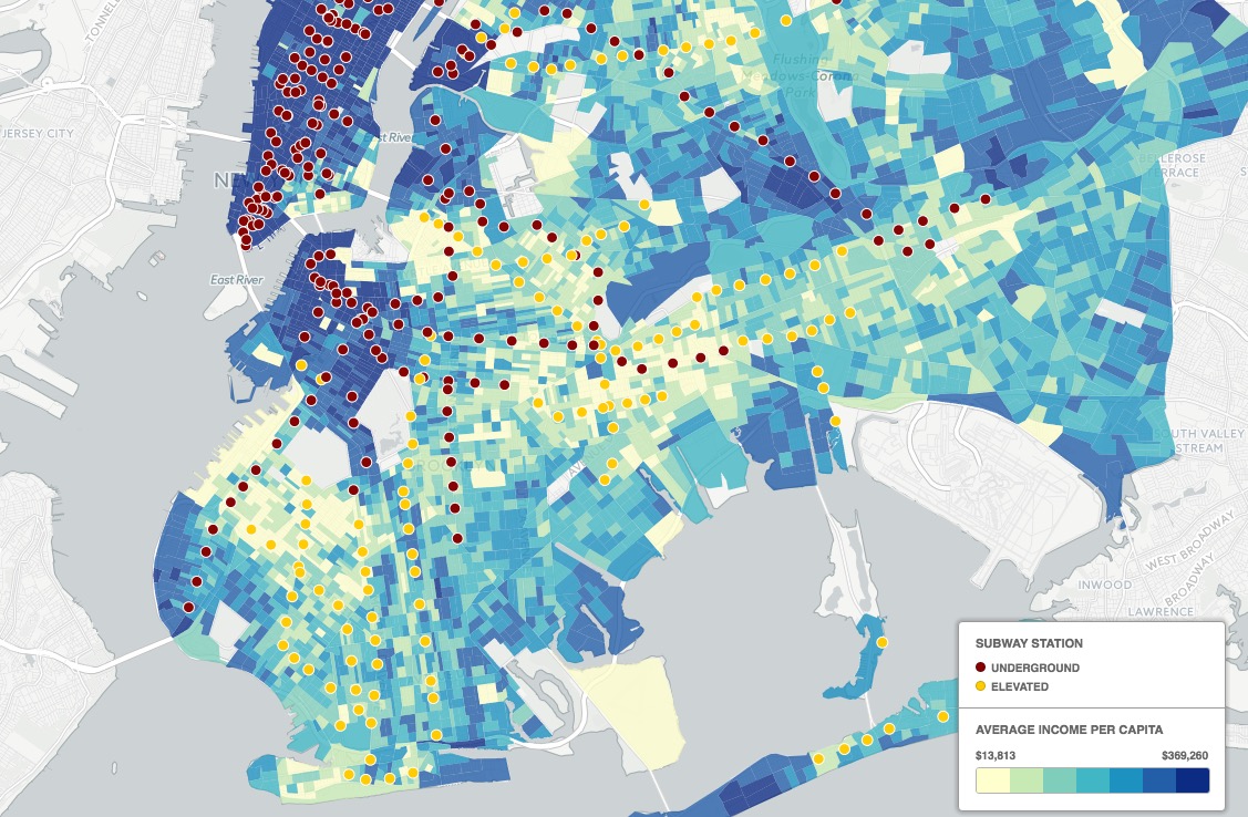
Trains and money. (Screenshot)
“This map shows the combined areas forming a 10-minute ‘walkshed’ around NYC’s 470 subway stations,” Whong writes. “The walkshed has been given the same styling as the water areas, revealing the ‘subway deserts’ of New York.”
Before you go...
Please consider supporting Technical.ly to keep our independent journalism strong. Unlike most business-focused media outlets, we don’t have a paywall. Instead, we count on your personal and organizational support.
3 ways to support our work:- Contribute to the Journalism Fund. Charitable giving ensures our information remains free and accessible for residents to discover workforce programs and entrepreneurship pathways. This includes philanthropic grants and individual tax-deductible donations from readers like you.
- Use our Preferred Partners. Our directory of vetted providers offers high-quality recommendations for services our readers need, and each referral supports our journalism.
- Use our services. If you need entrepreneurs and tech leaders to buy your services, are seeking technologists to hire or want more professionals to know about your ecosystem, Technical.ly has the biggest and most engaged audience in the mid-Atlantic. We help companies tell their stories and answer big questions to meet and serve our community.

Join our growing Slack community
Join 5,000 tech professionals and entrepreneurs in our community Slack today!