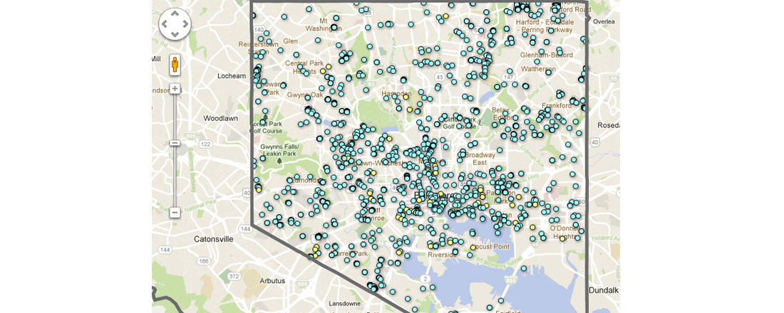
Chris Whong started making maps because people just asked for them. That, and, he needed them for class.
The 31-year-old owner of Charm City Networks, an IT networking and hardware shop in Federal Hill, is starting his second year of a master’s program in urban planning at New York University, a course of study that has made him revisit the GIS (geographic information system) mapping he did while obtaining an undergraduate degree in geography from the University of Maryland, College Park.
And unlike some of us, he’s actually using what he’s learning.
Some examples of the work he’s done:
- Whong used Google Fusion Tables and the Javascript API from Google Maps to produce a Baltimore-area map displaying pass rates of students on the Maryland School Assessment exam
- He created a Baltimore-city map displaying residents’ tweets by location (thanks to Dave Troy’s data files of Baltimoreans’ geocoded tweets)
- He launched a 3D view of city residents’ 311 calls, something Whong originally showed off at Data Day in July.
“With 3D, your data really jumps off the page, and you can really start to see the differences,” Whong says.
Whong, who moved to Baltimore city upon completion of his undergraduate degree, finishes his program at New York University in May. This fall, he’ll be interning with the New York City Department of Information Technology. Whong continues to work part-time for Charm City Networks (his partner is running the company as of now), but he “can’t tell right now” if he’ll return to Baltimore once he finishes his master’s degree.
“Baltimore is near and dear to my heart,” he says. “It’s the first city that turned me on to urban issues.”
Join the conversation!
Find news, events, jobs and people who share your interests on Technical.ly's open community Slack

Baltimore daily roundup: Medtech made in Baltimore; Sen. Sanders visits Morgan State; Humane Ai review debate

Baltimore daily roundup: The city's new esports lab; a conference in Wilmington; GBC reports $4B of economic activity

Baltimore daily roundup: Find your next coworking space; sea turtle legislation; Dali raided and sued

