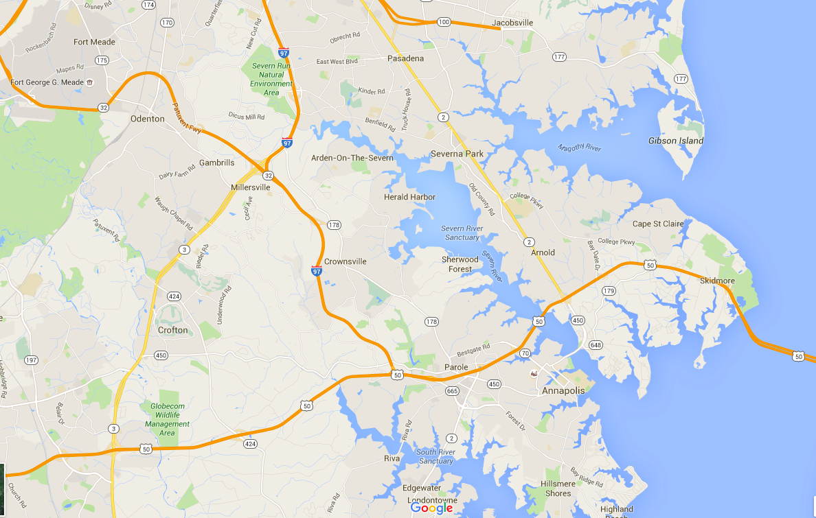
A group of University of Delaware robotics students recently used an underwater robot to create a map of the Severn River floor for the U.S. Naval Academy, according to the Cape Gazette.
The robot is one of the university’s 13 used for underwater research, and such robots are being developed to prevent risking divers’ lives in certain investigations.
On a nine-hour adventure, students used the robot’s sonar technology and live camera feed to create high-resolution maps of the river floor, which will be used to analyze sediment shifts.
Read the full story
Before you go...
Please consider supporting Technical.ly to keep our independent journalism strong. Unlike most business-focused media outlets, we don’t have a paywall. Instead, we count on your personal and organizational support.
Join our growing Slack community
Join 5,000 tech professionals and entrepreneurs in our community Slack today!

The person charged in the UnitedHealthcare CEO shooting had a ton of tech connections

From rejection to innovation: How I built a tool to beat AI hiring algorithms at their own game

Where are the country’s most vibrant tech and startup communities?
