

Unsustainable practices pose longstanding threats to our deciduous forests, while issues such as water drainage, pollution and improper use further endanger the country’s vital wetland ecosystems. In Maryland, a research team is committed to using AI maps that contribute to the conservation of both these terrains.
The data science team at the Chesapeake Conservancy, based in Annapolis, already has experience transforming soil-related information into data. In early 2023, it introduced an innovative “AI wetlands model” that showed promising results in addressing the longstanding challenges associated with wetlands protection and conservation. Now, the organization’s research team has developed an advanced deep-learning model that uses satellite imagery to automatically map ground-mounted solar arrays.
By employing this AI-driven system, the team created annual maps from 2017 to 2022 to assess the solar capacity, or the number of solar panels in given areas. The researchers found that solar capacity has been expanding at different rates across DC, Delaware, Maryland, Pennsylvania, New York, Virginia and West Virginia. Notably, Maryland and Virginia have experienced the most rapid growth in solar capacity. This growth is initiated by the installation of solar arrays, which are interconnected rows of solar panels often visible in fields during flights or drives through rural areas (and even on rooftops in urban settings).
In accord with the Chesapeake Conservancy’s findings, solar arrays have primarily replaced cultivated areas like agricultural fields, pastures and timberlands while avoiding such natural land covers as deciduous forests and wetlands. Michael Evans, a senior data scientist with Chesapeake Conservancy’s Conservation Innovation Center, said that this trend points toward something positive.
“From a conservation perspective, we were encouraged to see natural areas being avoided over the past six years,” he said. “In places where solar is replacing the previously degraded land cover, these facilities may also present a unique opportunity to restore biodiversity and ecosystem services in the watershed if native vegetation is maintained in areas under and around arrays.”
The findings indicate that agriculture has been the most frequently converted land use for solar, showing the highest level of selection in terms of area converted relative to the available area. This is beneficial because it helps avoid further endangerment or threats to forests and wetlands by the human population.
“These data reveal the land use transitions associated with past solar energy growth and the transitions we’re likely to see in the future if those trends continue,” Evans added.

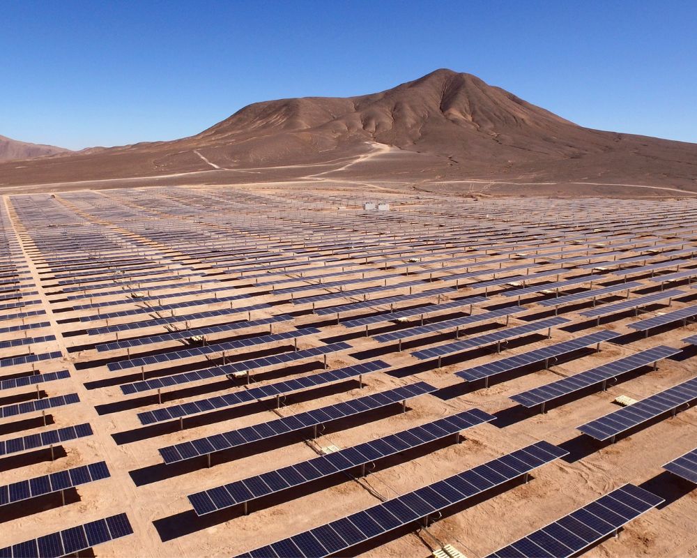
Arrays mapped for the Chesapeake Bay watershed, with colors indicating the year they were constructed. (Courtesy image)
The Chesapeake Conservancy research team ultimately conducted a study on predicting patterns of solar energy development and its potential impact on biodiversity conservation. The culminating detailed publication, “Predicting Patterns of Solar Energy Buildout to Identify Opportunities for Biodiversity Conservation” is available online.
The Chesapeake Conservancy also broke down its team’s methodology for determining the locations of most solar arrays in the Chesapeake Bay watershed in an announcement. Since not everyone has expertise in geospatial technology or data science, we’ve further simplified the method using ChatGPT. Here’s an edited version of what it said:
- The research team studied how solar energy has been built in the past and looked at different characteristics of the areas where solar panels were installed.
- It collected information about things like the slope of the land if it was protected and the types of land cover like forests or open areas. It also looked at the distance to roads and power lines, as well as factors like population, income and agriculture suitability.
- The team used all this information to create a computer model that predicted where solar energy might be built in the future. It found that solar panels were more likely to be installed in places previously used for farming, close to roads and unsuitable for agriculture. They were less likely to be built in steep areas, protected places and areas with lots of trees.
- Using the model’s calculations, the team made maps that showed how long it might take for solar energy to be developed in different locations across five states and DC. These maps can be seen on a public website:
Before you go...
Please consider supporting Technical.ly to keep our independent journalism strong. Unlike most business-focused media outlets, we don’t have a paywall. Instead, we count on your personal and organizational support.
Join our growing Slack community
Join 5,000 tech professionals and entrepreneurs in our community Slack today!

The person charged in the UnitedHealthcare CEO shooting had a ton of tech connections

From rejection to innovation: How I built a tool to beat AI hiring algorithms at their own game

Where are the country’s most vibrant tech and startup communities?
