In preparation for this past weekend’s Reinvent Transit hackathon, the city’s Department of Transportation coordinated with the Mayor’s Office of Information Technology to update several transportation-related data sets on the city’s OpenBaltimore portal.
The following list comes from Heather Hudson, who coordinates MOIT’s OpenBaltimore efforts. It includes datasets and maps updated as of the afternoon of March 5, the first day of Reinvent Transit.
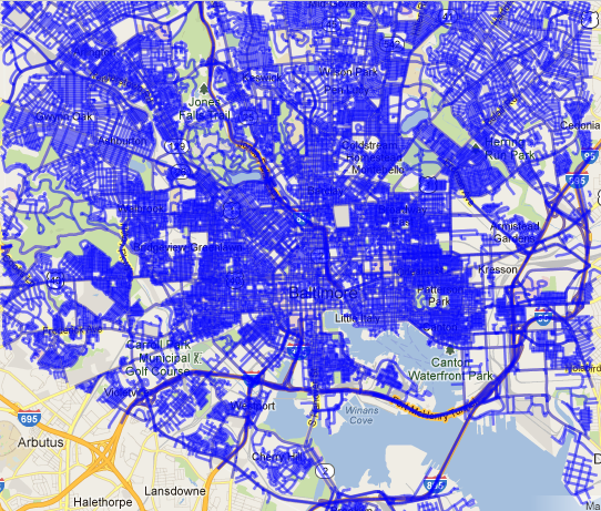
- Bike Lanes (Dataset, updated March 5)
- Towing (Dataset, updated March 5 and every 15 mins moving forward).
- On Street Bike Facilities (Map, updated March 5)
- Multi-Use Trails (Map, updated March 5)
- Multi-Use Trails (Dataset, updated March 5)
- Charm City Circulator Ridership (Dataset, updated March 5 with February data)
- Charm City Circulator Headways (Dataset, updated March 5 with February data)
- Fixed Speed Cameras (Map, updated Jan. 25, 2013)
- Fixed Speed Cameras (Dataset, , updated Jan. 25, 2013)
- Charm City Circulator Routes (Map, updated Oct. 23, 2012)
- Charm City Circulator Stops (Map, updated Oct. 23, 2012)
- Red Light Cameras (Dataset, updated Apr. 11, 2012)
Also recently added to OpenBaltimore were 18 datasets of Vital Signs indicators supplied by the Baltimore Neighborhood Indicators Alliance.
Join the conversation!
Find news, events, jobs and people who share your interests on Technical.ly's open community Slack

Baltimore daily roundup: Medtech made in Baltimore; Sen. Sanders visits Morgan State; Humane Ai review debate

Baltimore daily roundup: An HBCU innovation champion's journey; Sen. Sanders visits Morgan State; Humane Ai review debate

Baltimore daily roundup: The city's new esports lab; a conference in Wilmington; GBC reports $4B of economic activity