Central Park is most popular on Wednesday while Prospect Park is busiest on Sunday.
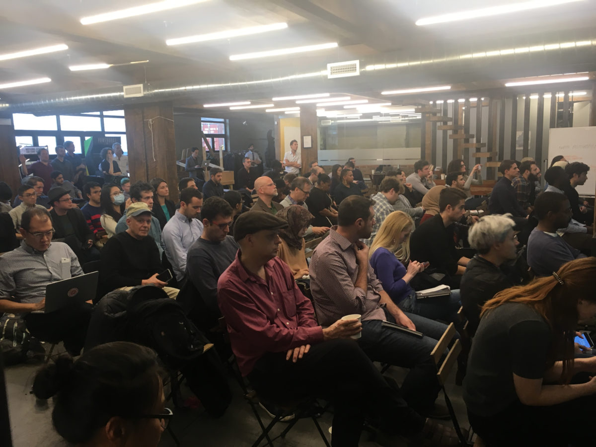
This was one of many big-data insights shared at Bushwick mapping startup CARTO’s Spatial Data Science Conference earlier this month.
Another was that Big Data may actually be Bad Data. According to Peter Lenz, an analyst at adtech firm Dstillery, the data often indicates that people are moving faster than the speed of sound, which, even in famously brisk-walking New York, doesn’t quite pass the smell test.
The conference brought together practitioners across academia and industry to think about how to utilize massive amounts of spatial data and avoid potential pitfalls. What would the world look like happen if urban planners had a real-time map of every car, bicycle and pedestrian? What if the federal government had access to accurate demographic information for every neighborhood in America updated every week rather than every decade? Would our cities operate more smoothly. Would our tax dollars and political representation be distributed more fairly?
One of the presenters was Wenfei Xu, a data scientist at CARTO. Her work used mobile GPS data to map the usage of New York City’s public parks. It paints a detailed picture of how people experience parks: where in the park they dawdle and which of the park’s amenities they’re drawn to. Her results are available online in a beautiful, interactive format. Play around with the data yourself.
The data was obtained from LiveRamp and aggregated from users of mobile weather and dating apps. Apparently, swiping during a stroll in the park might provide useful data to city planners.
But, that data isn’t always reliable. Lenz explained that Dstillery must process enormous amounts of data to make accurate insights. It discards 60 percent of it.
People are working on it, though. Companies like Factual are applying artificial intelligence to the problem, and tons of innovation is happening inside tech giants like Google and Apple, as they battle it out over driverless cars, for which mapping is a crucial component. (On that note, check out the work of Brooklyn mapping startup Carmera.)
This leaves open the question, however, of whether public agencies and other decision makers will even get access to this data. Seth Spielman, an associate professor of geography at the University of Colorado Boulder, is not optimistic.
Just wrapped discussion on geodemographic clusters from @seth_sp here at the #sdsc2017! pic.twitter.com/MLzCyjz02l
— CARTO (@CARTO) December 1, 2017
“There’s a profound information asymmetry,” he said, between the people with the data and the people trying learn from it, he explained during his presentation at the conference. “There’s an opportunity for [these companies] to share, but it’s complicated.” Companies tend to treat their data as proprietary or an asset to be sold, Spielman explained.
While there’s some hope that the location data from our mobile phones can be captured and used for the public good, there’s also reason to worry. The choice to analyze exclusively public spaces, Xu admits, was a purposeful one. By leaving out the routes between homes, offices and stores, Xu’s research dodged any privacy issues. Will future researchers be as careful?
Hopefully, CARTO’s efforts to bring together the various data science communities from academia and industry will bear further fruit in the form of further innovative research like Xu’s. If you’d like to learn more, CARTO is sponsoring a newsletter for Spatial Data Science community. You can sign up here.
Join the conversation!
Find news, events, jobs and people who share your interests on Technical.ly's open community Slack