
Baltimore’s new bus system is set to move into place in a couple of months.
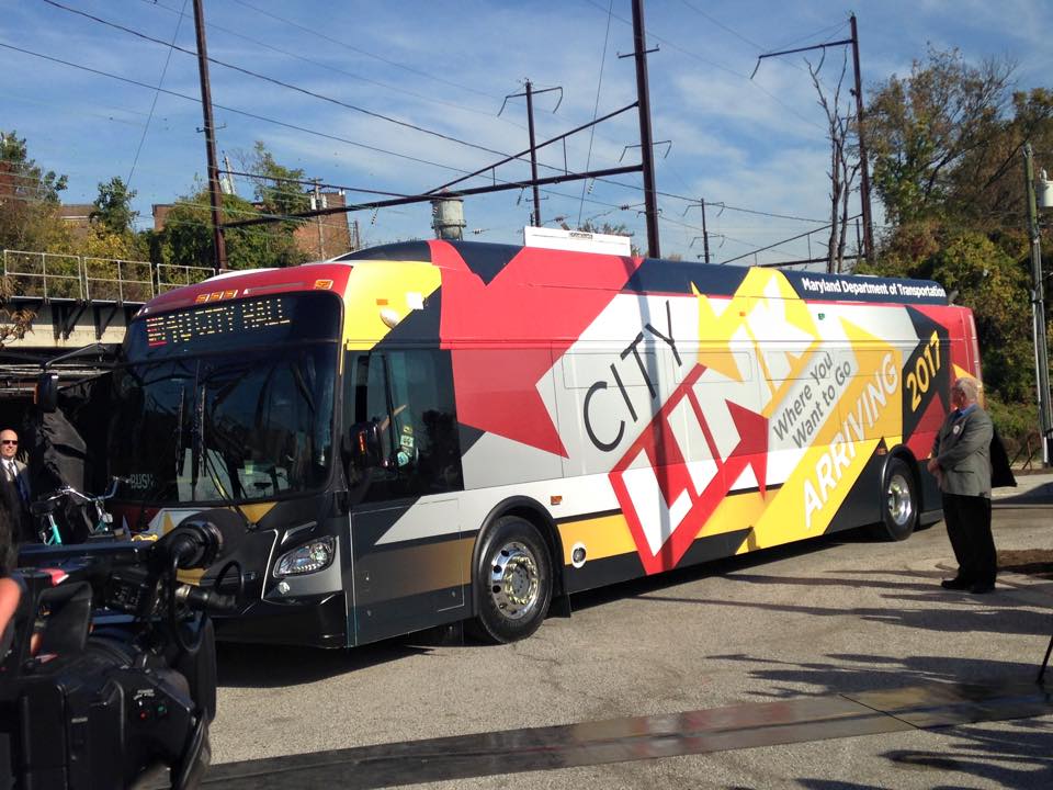
The state released the final maps for the CityLink system this week. This was the system devised to improve Baltimore transit after Gov. Larry Hogan opted to cancel the Red Line.
The full, interactive map is on display at the state’s website. The routes were reworked to be color-coded, and better connect with newer job centers like Port Covington, Amazon’s warehouse on Broening Highway and more. The routes officially take effect on June 18.
See the map
Sensors are part of the equation. The state is spending $11 million on a system of sensors for the bus and streetlights known as Transit Signal Priority, according to the Baltimore Sun.
The sensors can detect when a bus is approaching a red light, and change it to green to let the bus pass through faster. They’re being installed throughout May.
The technology is being paired with other changes that look to address “bus bunching.” Just shy of 20 bus stops will also be moved to the side of an intersection opposite the light, so they can avoid a potential wait. The city is also adding five miles of bus lanes.
Join the conversation!
Find news, events, jobs and people who share your interests on Technical.ly's open community Slack

Baltimore daily roundup: Gen AI's software dev skills; UpSurge Tech Ecosystem Report; MD service year program

Baltimore daily roundup: Mayoral candidates talk tech and biz; a guide to greentech vocabulary; a Dutch delegation's visit

Baltimore daily roundup: Medtech made in Baltimore; Sen. Sanders visits Morgan State; Humane Ai review debate
