
A map created by researchers at the University of Maryland, Baltimore County (UMBC) is helping modern-day Baltimore lovers catch a glimpse of Charm City’s past.
BEARINGS (Bird’s Eye Annotated Representational Image/Navigable Gigapixel Scene) of Baltimore features the ability to zoom in on notable landmarks, circa 1815. It also features an overlay of the 2014 city map so viewers can compare it to what Baltimore looks like today. (Note that today’s tech hubs in Canton and Federal Hill are not yet “on the map.”)
See the map
The project was helmed by a large team from UMBC, which put the map together in time for the Battle of Baltimore bicentennial last fall. Joshua Cole, the environmental data manager at UMBC’s Center for Urban Environmental Research and Education, and a team of students researched the topography of the city and pulled together the GIS data. Then, artist Tamara Peters consulted experts, and interns created 3D models.
The result is an awesome, interactive 3D map that has found an excited audience on Reddit this week.
Join the conversation!
Find news, events, jobs and people who share your interests on Technical.ly's open community Slack

Baltimore daily roundup: Medtech made in Baltimore; Sen. Sanders visits Morgan State; Humane Ai review debate

Baltimore daily roundup: An HBCU innovation champion's journey; Sen. Sanders visits Morgan State; Humane Ai review debate

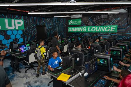
Baltimore daily roundup: The city's new esports lab; a conference in Wilmington; GBC reports $4B of economic activity