OpenBaltimore now has 18 new datasets to pick from, courtesy of the Baltimore Neighborhood Indicators Alliance.
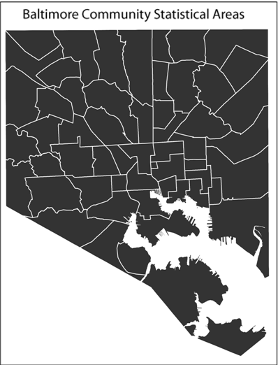
All the information from Vital Signs 10 has been uploaded to the OpenBaltimore site as shapefiles. As Technically Baltimore has reported, BNIA has split Baltimore city into 55 Community Statistical Areas based on U.S. Census tracts, each of which are mapped with its own data on quality-of-life factors such as sanitation, housing, and crime and safety.
BNIA is now working with the Mayor’s Office of Information Technology to improve the functionality of the Vital Signs data, said Seema Iyer, associate director of the Jacob France Institute at the University of Baltimore — the home of BNIA — in an e-mail.
View the Vital Signs 10 datasets on Open Baltimore. You can also download Vital Signs shapefiles directly from the BNIA website.
Watch Seem Iyer’s TED talk at TEDxBaltimore 2013:
[youtube https://www.youtube.com/watch?v=WTFY_SIiq5Q]
Join the conversation!
Find news, events, jobs and people who share your interests on Technical.ly's open community Slack

Baltimore daily roundup: Medtech made in Baltimore; Sen. Sanders visits Morgan State; Humane Ai review debate

Baltimore daily roundup: An HBCU innovation champion's journey; Sen. Sanders visits Morgan State; Humane Ai review debate

Baltimore daily roundup: The city's new esports lab; a conference in Wilmington; GBC reports $4B of economic activity