
A small boat is traversing the length of the Susquehanna River, from upstate New York to the Chesapeake Bay, for mapping’s sake.
The Chesapeake Bay Conservancy and Richmond, Va.-based mapping outfit Terrain360 teamed up for the summer river cruise. For now, the focal point is a vessel outfitted with six cameras, which take pictures of the Susquehanna River every 50 feet during the trip. There’s some room left for people, too, as a rotating crew will man the boat.
“We estimate the main branch will take about 21 days and the West Branch will take about a week,” said Andy Thompson of Terrain360. “The biggest challenge is the number of dams on the river. I think my last count was 14, and at each one we have to find a place above the dam to take out and then a place below the dam to put back in.”
Once the 464-mile journey is complete, the two organizations will compile the images to create a digital map of the Susquehanna, much like the interactive visualizations Terrain360 made for other trails and waterways.

A Terrain360 visualization of the Jackson River in Virginia. (Screenshot via terrain360.com)
Thompson estimates the map will include about 250,000 panoramic images, with each pano containing six individual pictures. At wide spots in the river, the crew takes pictures along both banks. When you factor that in, Thompson said, the boat will cover about 1,100 miles.
The map will also include information on access points and river history.

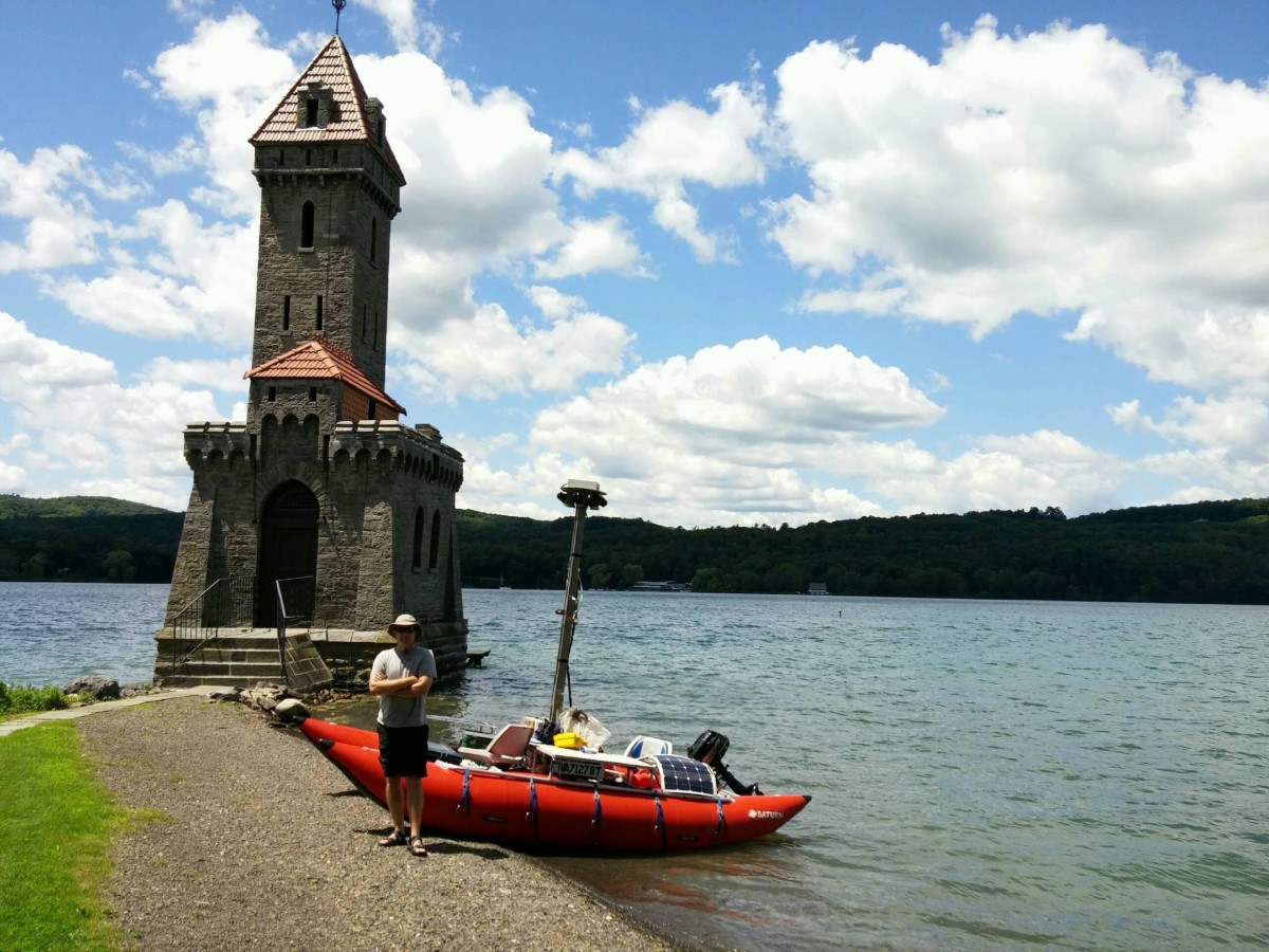
Current crew members Wil Loy and Sam Christy with the boat. (Courtesy photo)
Starting in Lake Otsego near Cooperstown, N.Y., the Susquehanna is the longest river on the East Coast and provides about half of the Chesapeake Bay’s freshwater. In 2011, it was named the most endangered river in the country by American Rivers due to the effects of wastewater in the water table from hydraulic fracturing. New York has since banned fracking, and Maryland put it on hold. However, the bulk of the river is in Pennsylvania, where natural gas drilling is big business.
The mapping project aims to make it easier for people to connect with the river and see its value. Some photos are already coming back on the Terrain360 Twitter account.
Great day mapping #lakeotsego yesterday! @ChesConserv pic.twitter.com/uN1t8dmJii
— Terrain360 (@Terrain360) July 23, 2015
Join the conversation!
Find news, events, jobs and people who share your interests on Technical.ly's open community Slack

Baltimore daily roundup: Find your next coworking space; sea turtle legislation; Dali raided and sued

Baltimore daily roundup: Johns Hopkins dedicates The Pava Center; Q1's VC outlook; Cal Ripken inaugurates youth STEM center

Baltimore daily roundup: Scenes from an epic Sneaker Ball; Backpack Healthcare in Google AI accelerator; local tech figures' podcast